The Fight to Keep Our Walkable Cities

Los Angeles highway grid. Photo credit: Getty Images
Since mass migration away from cities began in the mid 1940s, the mark of social privilege in America has been car and home ownership in a suburban community. It’s not that walkable urban communities ceased to exist, it’s that desegregation made them undesirable—too Black, Brown, immigrant, and low income—for white Americans who could afford to live elsewhere.
Recently, there’s been a lot of buzz in the media about new urban planning theories that shift focus away from the car—which has dominated American urbanism for the better half of the last century—towards pedestrian and bicycle infrastructure. The new “thing” or trend is to design for the “15-minute” city and zone for “mixed-use commercial retail” or “transit-oriented development”. You also might hear about “complete streets” or “smart growth” policies where you live.
Many of these terms which are starting to enter the mainstream are a response to the climate crisis and a real need to re-adapt more car-dominant landscapes—like the suburbs— to more sustainable models of urban development. The politics around urbanism in America are as complex as American politics itself, and sometimes just as divisive. But now that gentrification is fueling renewed interest in walkable communities, it’s worth exploring how questions of walkability speak to larger conversations around who gets to have a future in America.
Planners have also noticed that younger people - primarily from the suburbs and rural areas—are flocking to more populated, urban areas in no small part due to the convenience of having their social life, workplace and apartment all within a few miles of each other—and these cities want to attract and retain them.
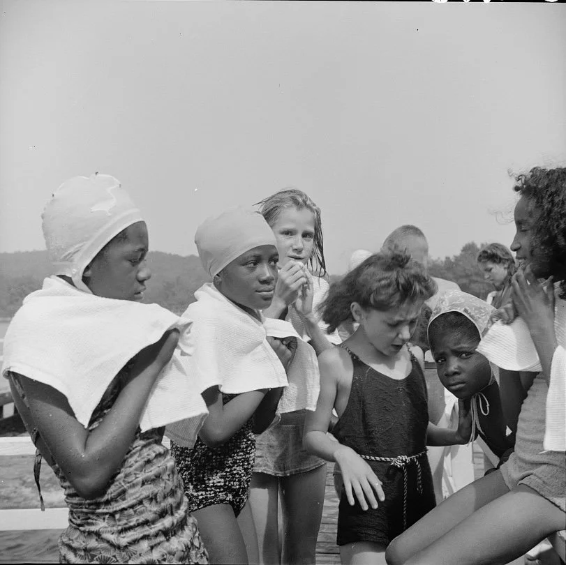
The “Walkable” (Black) Metropolis

Photo by Renan Kamikoga on Unsplash
“If the definition of “walkable” is the ability to engage and navigate the city without a vehicle, then most minority neighborhoods would fit that definition.”
What do we mean when we say “walkable”? If the definition of “walkable” is the ability to navigate the city without a vehicle, then most urban BIPOC neighborhoods would fit that definition. Technically speaking, most urban BIPOC communities are “walkable” by design. Chinatowns across the country are, in theory, a great example of “smart growth”. However, Chinatowns and immigrant neighborhoods across the U.S. are a direct result of racist official and unofficial policies, like redlining. Today, they are unironically being championed as models of sustainable urban development.
Take predominantly Black communities in New York, for example. From the 1920s to the 1970s, African-Americans fled extreme racial violence and Jim Crow segregation in the South for northern cities like Chicago and New York. Around the same time, Caribbean immigrants began arriving from Barbados, Jamaica and Puerto Rico. New York city planners responded to the influx of Black immigrants from the Caribbean and rural South by forcibly segregating hundreds of thousands of people in a handful of overcrowded or dense neighborhoods.
To this day, Brownsville, Brooklyn has the highest concentration of public housing in the nation. And yet, in no small part due to the way racial segregation physically shaped Black communities, neighborhoods like the Bronx are now considered desirable, “walkable” and “transit rich” neighborhoods—ironically making historically Black, working-class neighborhoods a major target of contemporary gentrification.
So, that’s one definition of “walkable”. However, if when we say “walkable” we mean a neighborhood where you can access leisure activities, work, and the majority of your needs (grocery store, day care, etc.) within a 15-minute walking radius then most communities of color don’t meet that definition. Black neighborhoods in particular highlight the disparity in access to community needs and services.
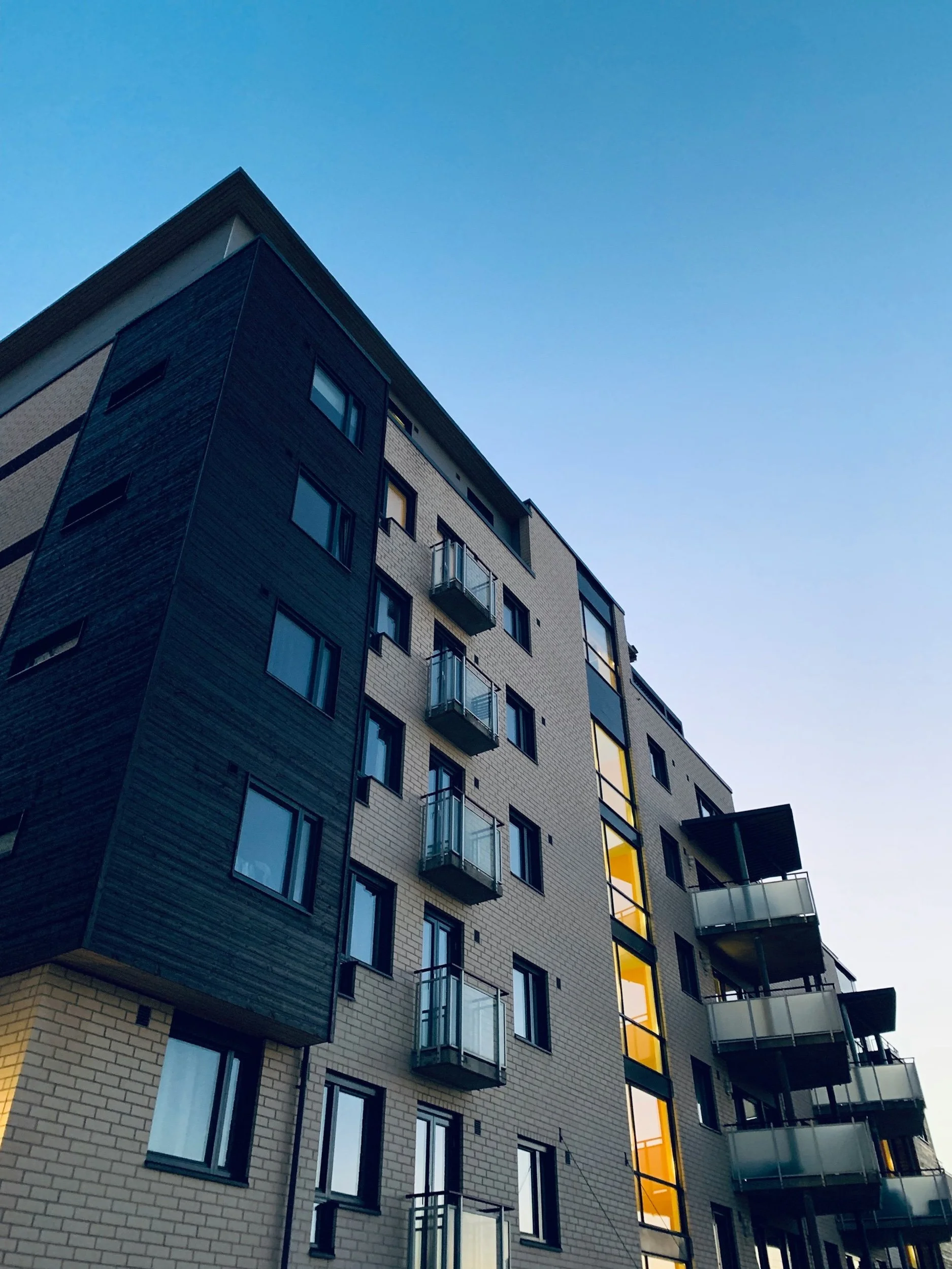
White Flight and the Origins of Suburbia

Photo by Zac Gudakov on Unsplash
When planners, architects, activists and politicians talk about structural racism in the built environment they quite literally mean the racism embedded in America’s infrastructure and the decisions surrounding infrastructural development.
The reason why it takes one hour to go two miles in Atlanta during rush hour is by-design; it is quite literally the result of decisions made by predominantly white, male city planners, to use the automobile as a tool to help further segregate low-income communities of color from white neighborhoods.
The Interstate Highway Act of 1955 was signed into law authorizing the use of federal funding to construct major highways across the country.
In the 50s and 60s, highways were used to destroy Black neighborhoods, including thriving commercial and residential areas. Examples include the 99W and I-5 which carved up the historically Black Albina neighborhood in Portland. Then there’s I-40 in Tennessee which “took a noticeable swerve, bisecting the Black community of North Nashville”. Don’t forget the infamous “Highway to Nowhere” which plowed through a middle class Black neighborhood in west Baltimore and yet was never completed after white Baltimoreans campaigned against it. Similar examples exist across the country.
These were not collateral damage. Thriving BIPOC communities were deliberately targeted and mapped over. City planners were clear about their intent to use “federal bulldozers” and eminent domain seizure for “slum clearance” and “urban renewal”.
Robert A. Caro, who wrote about the infamous city planner Robert Moses in The Power Broker, speculated that some parkways around NYC, like the Merritt Parkway in Connecticut or the Southern State Parkway on Long Island, were constructed with the intention to physically prohibit low-income, minority residents from being able to travel outside of the five boroughs.
During this time, landlords and developers also made huge profits off white fear through techniques such as blockbusting. African American homeowners would be introduced into previously all white neighborhoods “in order to spark rapid white flight and housing decline” leading to large profit margins for developers from the resulting “prejudice-driven market instability”. Redlining, racial covenants, blockbusting and interstate highway construction were similar tools that were used to physically separate racial minorities from whites and to deprive BIPOC communities of safe, healthy living conditions.
Food Apartheid and the Lasting Effects of Urban Disinvestment

Abandoned row houses in Baltimore. Photo credit: iStock
In the wake of white flight and the development of the interstate highway system, many Black neighborhoods, in particular, lost their vibrant commercial districts (e.g. - San Juan Hill which is now the location of Lincoln Center). They were cleared to make room for housing projects, stadiums and “civic centers”.
In cities across the nation, such as Baltimore, Newark, Philadelphia, Camden and St. Louis - the loss of Black businesses, including clinics, grocery stores, pharmacies, community development corporations, theaters and shops, was devastating for the community.
All of a sudden, goods and services which had previously been within walking distance, or within a “walkable” community were suddenly relocated or simply removed and not replaced. That too was a deliberate decision on the part of grocery store chains; it’s known as “supermarket redlining”.
Without access to a vehicle, a trip that had previously taken 10-15 minutes now takes some people in cities like Washington, D.C. and Atlanta almost two hours. It’s not surprising that families began to rely on corner stores and gas stations with no fresh produce for groceries. The lasting effects of racist policies didn’t stop there. As urban renewal and interstate highways ravaged communities of color, once vibrant neighborhoods completely lost their commercial districts. And life got harder. Don’t have a ride to a medical appointment at the hospital that’s 90 mins and two bus connections away? You don’t go. No Federally Qualified Community Health Clinic in your neighborhood? Now you don’t have access to public health information, screenings, pre-natal care, and primary care in your language.
The physical destruction of BIPOC communities would not have been possible without city planners and private corporations working together to strip them of the resources they needed to thrive—from crosswalks to bus shelters to grocery stores to tax breaks and incentives for companies to provide jobs and social mobility.
Who Benefits from the “Walkable” City?

Photo by Sandy Ching on Unsplash
Walking regularly can have a number of benefits for your health and your wallet (wheelchair users, hold tight for a moment; we haven’t forgotten you). Walking helps to reduce the risk of all kinds of health issues that have historically been a problem for Black communities, from diabetes to high blood pressure. Walking can also have a positive impact on mental health for many.
Recently, there has been more investment in urban areas, fueled by gentrification—not by Black, Latino and Asian residents asking for the same upgrades for the past several decades. New parks like Hunter’s Point South in a formerly industrial district in Queens offer protection from coastal flooding as well as beautiful views of Midtown Manhattan.
It goes without saying that much of the investment being directed towards urban areas is going to “redevelopment” projects - a fancy, new term for “urban renewal”. Many of these projects seek to artificially recreate the vibrant street life—what Jane Jacobs once called the “sidewalk ballet”—of Black neighborhoods prior to disinvestment and white flight. It is clear that the redevelopment is not intended for low- and middle-income BIPOC who are currently being displaced to make room for white residents who can afford high rent on bland 5-over-1 apartments near industrial-style coffee shops, bars, Whole Foods and Pilates studios. The new construction is meant to accommodate the needs of the gentrifying class—newly arrived from the suburbs.
These walkable communities also benefit from separated bike lanes, upgraded public transit, sidewalks and traffic calming measures—features designed to entice families from the suburbs, while ignoring the safety concerns raised by BIPOC urban residents for years. However, BIPOC have every right to enjoy the benefits of sustainable forms of urban planning and design.
What can you do about it? I’m glad you asked!
Advice on How to Advocate for Equitable Walkable Communities
Tip #1: Educate yourself about planning and how the American system of spatial politics shapes communities.
More information can be found through the American Planning Association’s website at www.planning.org
Tip #2: Go to your local planning board meetings and/or get involved with your local planning council
BIPOC, Black people in particular—are noticeably absent from local planning boards and community engagement meetings
These meetings allow community members to learn more about changes happening in their neighborhood and in some instances allow community members to comment on proposals
Yes, it’s true that advocacy and political capital in the U.S. tend to be more effective the lighter your skin color and the deeper your pockets, but still…
Tip #3: Advocate for an equitable, transparent community engagement process if and when applicable
Tip #4: Encourage young people you might know to PURSUE built environment professions
Such as:
Architecture
Urban Planning
Environmental Planning
Urban Design
Landscape Architecture
Civil Engineering
Etc.


Summer is here and prices couldn’t be higher! Recession indicators are everywhere, federal student loan repayments are back on and rent is rising in major cities across the U.S. But you don’t want to spend all your time at home either. Here are eight ways to get outside for free (or close enough) while making friends, building community and learning new hobbies. Let’s go!